Government Contracting
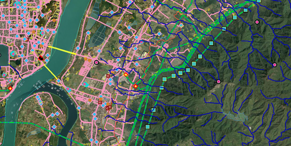
As an Independent Contractor, I, along with a team of remote colleagues, deliver map products to the customer for JANUS Geography, a program to support military operations and humanitarian support in foreign regions like China, Russia, and the Indo-Pacific.
I’ve prepared files alongside my team of remote colleagues for regions like India, China, and Russia. The data comes in fragmented, and it’s our duty to repair it and come out with a connected network.
Geo Owl LLC
✳︎
Hexagon US Federal
✳︎
B&A Associates
✳︎
Vantor (Formerly MAXAR)
✳︎
National Geospatial Intelligence Agency (NGA)
Geo Owl LLC ✳︎ Hexagon US Federal ✳︎ B&A Associates ✳︎ Vantor (Formerly MAXAR) ✳︎ National Geospatial Intelligence Agency (NGA)

I am a subcontractor for B&A. I use their remote desktop connection to do the job, communicate with project leads and management, and do timekeeping through their systems. We respond to Quality Assurance/Quality Control feedback and get informed on the developments of the JANUS Geography program.
Hexagon US Federal rebranded to B&A in 2025.
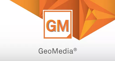
GeoMedia is B&A’s proprietary software. Remarkable features of this software compared to Esri Products include automatic feature updates, internally engineered custom tools (speed scaling), and a connection to Open Street Map’s data. Most work includes photo interpretation and drawing vector data representing hydrography, transportation, and culture. There are lots of options for cartographic display, visualization, and legend management, all subject to the analyst’s discretion.
Vantor is our provider for high quality, raster data (current imagery) critical to understanding hydrography, transportation, and cultural features we collect for our topographic products. You may recognize Vantor (formerly MAXAR) in a Google Earth window next to names like NOAA and NGA.
I am back in action, rejoining Geo Owl as an Independent Contractor following the 2025 GEOINT Symposium. Geo Owl offers contractors to subcontract for B&A.